knime-shapefiles-as-WKT
Demo: read spatial data from Shapefiles
Download the workflow here, then import it into KNIME using File/Import KNIME Workflow.
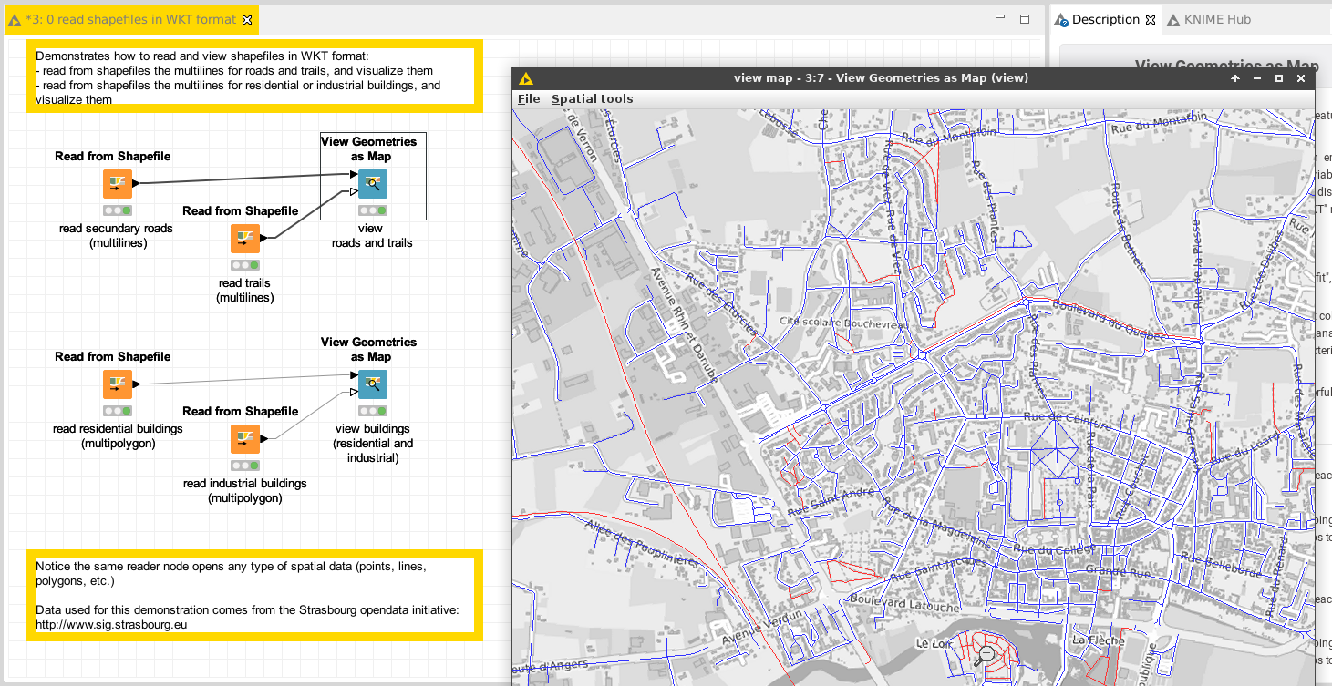
This workflow demonstrates how to read data from the ESRI shapefile format. The node “Read from Shapefile” decodes the geometries and produces one row per geometry.
- open the output table of one of these nodes, and observe how the geometries are encoded in a column “the_geom”; this format is the Well-Known Text format.
- compare the outputs of the various nodes; observe how the geometries can be lines of polygons
- open the views, and watch how the “the_geom” columns of the KNIME tables were interpreted as spatial data
Next
See the demo on how to merge geometries from various sources in KNIME. Or come back to the documentation.