knime-shapefiles-as-WKT
Demo: reproject geometries
Download the workflow here, then import it into KNIME using File/Import KNIME Workflow.
Spatial data ultimately corresponds to a pile of (x,y) coordinates. They only have a geographical meaning if they are considered according to a Coordinate Reference System which defines where in Earth these coordinates are. Coordinate Reference Systems might cover the entire planet with limited precision and risks of distortion, or might only cover a limited portion of the globe with high accuracy.
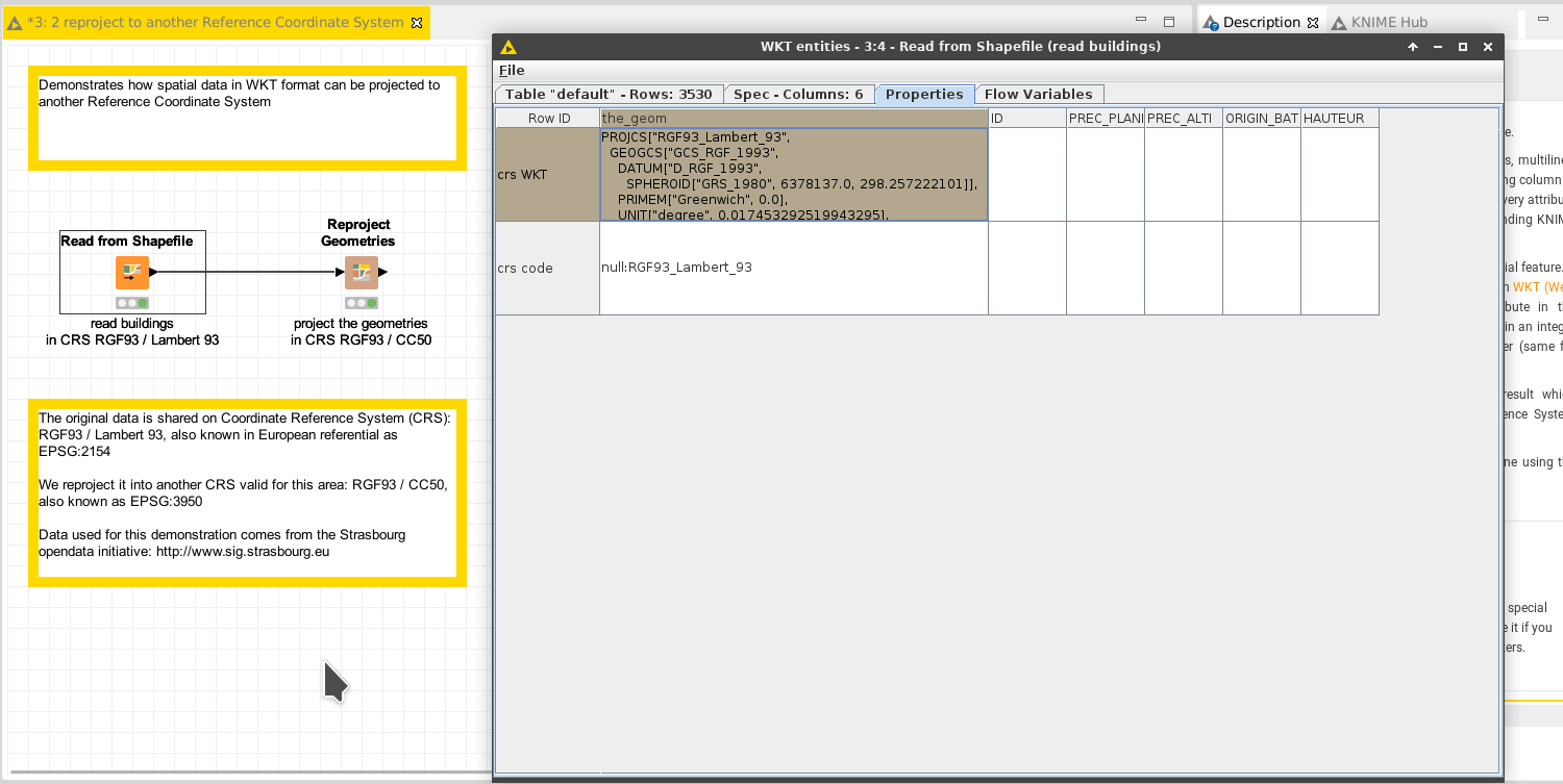
This workflow demonstrates how to reproject the geometries.
Things to try
- Run the workflow
- Open the outputs of each node, and compare the coordinates; watch how the geometries are the same in a different referential.
- Add a “View Geometries as Map”, and observe how the projection does not change what is displayed; only the referential changes
- Try to reproject to another coordinate system by tuning the configuration of the “Reproject” node; try WGS84 which covers the globe and is thus compliant with any location
Go beyond
- Add a node “Write Geometries into Shapefile” and write the result of the concatenation into a shapefile. Open it with a GIS sofware like qgis, and check the data is still there.
Next
See the demo on how to write spatial data into a shapefile. Or come back to the documentation.